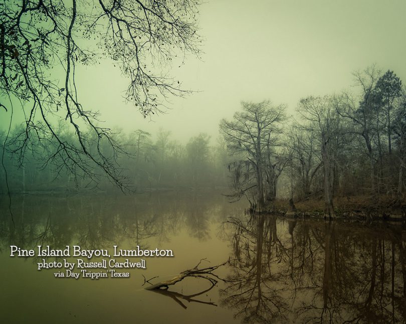
From the junction of Village Slough and Pine Island Bayou in Lumberton.
Photo by Russell Cardwell

The Brazos River, called the Rio de los Brazos de Dios by early Spanish explorers (translated as “The River of the Arms of God”), is the...
Just off Hwy 82 near Paris. Photo by Thomas Henry
Eisenhower State Park, with 423.1 acres, is located in Grayson County, northwest of Denison on the shores of Lake Texoma. It was acquired in 1954 by...
On February 2, 1894, the Right Reverend Nicholas A. Gallager, Bishop of the German Roman Catholic Church of the Diocese of Galveston purchased for...
The Rio Grande is a river that flows from southwestern Colorado in the United States to the Gulf of Mexico. Along the way it forms part of the...
Buescher State Park is a state park located just north of Smithville. The park consists of 1,016.7 acres of public land donated to the state by Mr...
Welcome to the City of Jefferson… "Riverport to the Southwest". Settle in for a journey through time when the living was easy and the era was golden.
Hog Creek Falls East is a scenic 15-feet falls in northern Jasper County. It is located on one of Hog Creek’s numerous branches, which like nearby...
