
Legend of the Lost Mine Of the many romantic legends which abound through the West, few match the Lost Mine story from which the peak takes its name. Is it true? Did the mine exist? Or was it a...
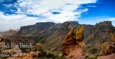

West Texas is Big Bend. Sandwiched between Mexico and New Mexico, the area integrates Hispanic culture into the American mix. The Pecos and the Rio Grande rivers are just two of the natural attractions in this part of the state, the latter forming a natural border between Texas and Mexico. In Big Bend National Park, one of the largest national parks in the United States, guests can hike, float on commercial float trips on the Rio Grande, camp and birdwatch.
The largest center in the region is El Paso, a city with easy access to its sister city of Juarez, Mexico. Attractions in El Paso include Fort Bliss, the Ysleta, Socorro and San Elizario missions, and the El Paso Museum of Art. Other areas of interest in this region include the Amistad National Recreation Area, Guadalupe Mountains National Park and the city of Del Rio.
Legend of the Lost Mine Of the many romantic legends which abound through the West, few match the Lost Mine story from which the peak takes its name. Is it true? Did the mine exist? Or was it a...
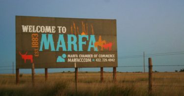
Marfa is a city in the high desert of the Trans-Pecos in far West Texas, located between the Davis Mountains and Big Bend National Park. It is the county seat of Presidio County.
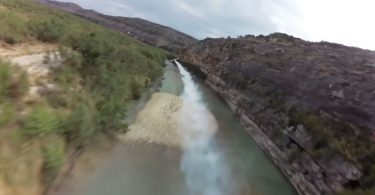
Given it's 801,163 acre size, it's hard to comprehend all that is Big Bend.
The world's largest coral reef.
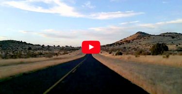
TX 118 Fort Davis to I-10, Van Horn
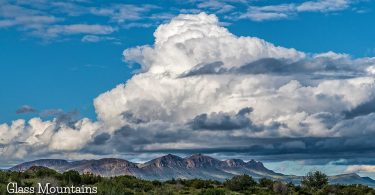
The Glass Mountains in West Texas extend from Cathedral Mountain in northern Brewster County to Monument Draw in southern Pecos County, roughly between Fort Stockton and Alpine.
We traveled to the McDonald Observatory to see the heavens on The Texas Bucket List.
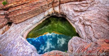
The Ernst Tinaja in Big Bend is the largest of a series of tinajas or natural water holes in this canyon. Because it rarely goes dry, it is a reliable source of water for desert wildlife. Photo Tom
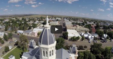
A look at Marfa, Texas and the Presidio County Courthouse in the Big Bend Region of Texas.
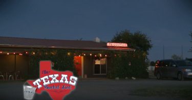
If you find yourself in Marfa looking for an interesting place to stay, check out El Cosmico. It's an out of this world stop on The Texas Bucket List that provides visitors with a unique place to lay...
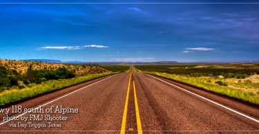
State Highway 118, or SH 118, is a 155.3-mile state highway in the U.S. state of Texas that runs from Big Bend National Park north to Kent and passes through the towns of Study Butte, Alpine...
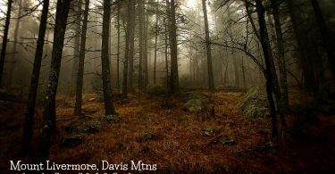
Pine forests in the Chihuahua Desert!
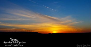
Trent, on Interstate Highway 20 twenty-three miles west of Abilene in northwestern Taylor County, was established in 1881 and served as a halfway station on the Texas and Pacific Railway between...
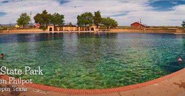
Balmorhea State Park was constructed by the CCC in the early 1930s to put folks to work during the Depression.
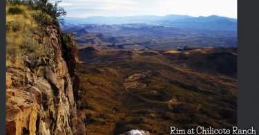
View looking Southwest from The Rim at Chilicote Ranch. Somewhere in the valley below runs the Rio Grande, separating Texas in the foreground from Mexico in the background. Near Valentine, Texas...
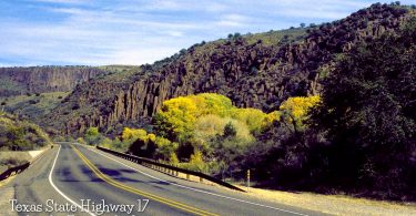
Picturesque Highway 17 in West Texas. The road into Balmorhea State Park.
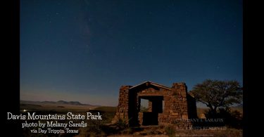
Davis Mountains State Park is a 2,709-acre state park located in the Davis Mountains in Jeff Davis County. The park elevation is between 5,000 and 6,000 ft (1,500 and 1,800 m) above sea level.
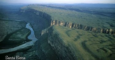
Crowned with a sky so wide that it threatens to define infinity, the Big Bend region of Texas is situated roughly west of San Antonio, east of El Paso, and north of the mythic Rio Grande river. It...