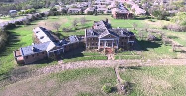
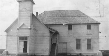
Woodmen Circle Home was an orphanage and a dormitory for widowed women.
North Texas
The Rolling Plains of North Texas embody what many think of when the think about Texas. Due to the abundance of native grasses, the Plains Country is renown for its grazing livestock, however some of the more fertile soil has been planted into crops that also form a vital part of the fabric of the area. Golf and tennis are just two of the many outdoor activities available in the Rolling Plains area
Map of North Texas Points
Things to See & Do in North Texas
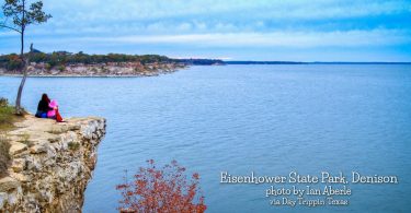
Eisenhower State Park, Denison
Eisenhower State Park, with 423.1 acres, is located in Grayson County, northwest of Denison on the shores of Lake Texoma. It was acquired in 1954 by a Department of Army lease, which extends until...
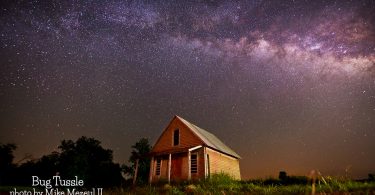
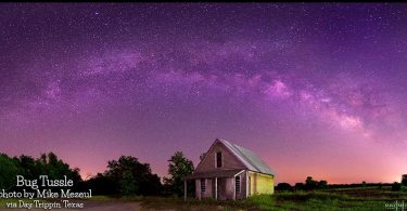
Bug Tussle
Bug Tussle is at the junction of Farm Road 1550 and State Highway 34, ten miles south of Honey Grove and five miles north of Ladonia in southeastern Fannin County. The community was initially called...
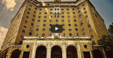
The Baker Hotel: “Ballad of the Baker”
The Baker Hotel is a long-shuttered hotel in Mineral Wells.
Alvord
Alvord is on U.S. Highway 287/81 ten miles northeast of Decatur in northeast Wise County. Settlement began there in the early 1880s. The community, originally called Nina, adopted its present name in...
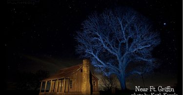
Near Fort Griffin in Albany
From an old Western town near Fort Griffin. Photo Keith Kapple
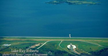
Lake Ray Roberts Dam
Aerial view of Ray Roberts Lake and Dam on the Elm Fork in Denton County. The dam is over 2 miles long. This photo does not show the entire dam. The 29,350-acre lake backs up into Cooke and Grayson...
Bug Tussle
At least three explanations exist for this town's unusual name. The most popular is that the name commemorated an invasion of bugs that spoiled a church ice cream social.
15 Texas Best Sunrises
The BEST Texas sunrises? Well, that's not exactly true because there are just so many more than 15 of them.
Brazos River
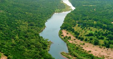
The Brazos River, called the Rio de los Brazos de Dios by early Spanish explorers (translated as “The River of the Arms of God”), is the longest river in Texas and the 11th longest river...
Lake Ray Roberts
Lake Ray Roberts (formally Ray Roberts Lake) is a 29,350-acre reservoir located 10 miles north of Denton between the cities of Pilot Point and Sanger. It was named after Ray Roberts — a local...
Baker Hotel by Drone
An aerial tour of the exterior of the Baker Hotel in Mineral Wells.
Boyd
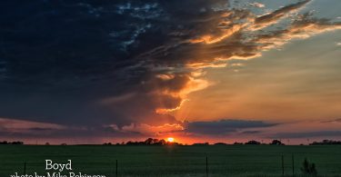
Boyd is a town in Wise County. The population was 1,350 at the 2010 census. It is thirty miles northwest from the Dallas–Fort Worth metroplex. Photo Mike Robinson Boyd,North Texas,Wise County
Haslet
Haslet is on Farm Road 156 some sixteen miles northwest of Fort Worth in extreme north central Tarrant County.
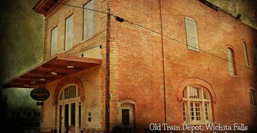
Old Train Depot in Wichita Falls
Photo by Melany Sarafis
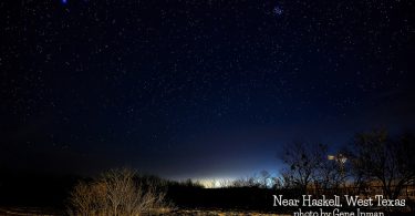
Haskell
Haskell, the county seat of Haskell County, is at the junction of U.S. Highways 277 and 380 in the central part of the county. It was once on the Fort Worth and Denver Railway. The townsite was at...
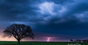
Archer City
Photo by Mike Mezeul II
Abandoned St. John’s Catholic Church in Bomarton
This is the Milky Way over the abandoned St. John’s Catholic Church in Bomarton. Bomarton, on U.S. Highway 277 near the Knox county line in southwest Baylor County, was founded in 1906, when...


