
From an old Western town near Fort Griffin.
Photo Keith Kapple

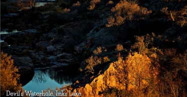
Devil’s Waterhole is a small extension of Inks Lake in Burnet, which is almost completely surrounded by rock. A canoe tour is conducted at...
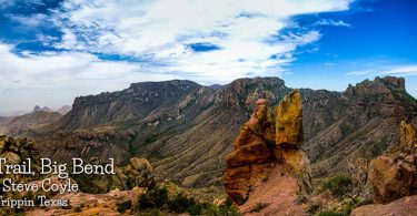
Legend of the Lost Mine Of the many romantic legends which abound through the West, few match the Lost Mine story from which the peak takes its name...
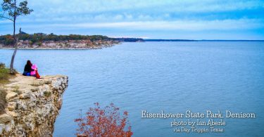
Eisenhower State Park, with 423.1 acres, is located in Grayson County, northwest of Denison on the shores of Lake Texoma. It was acquired in 1954 by...
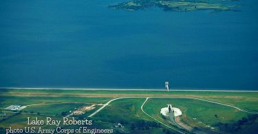
Aerial view of Ray Roberts Lake and Dam on the Elm Fork in Denton County. The dam is over 2 miles long. This photo does not show the entire dam. The...

Sunset in McKinney Falls State Park, located at the southeastern edge of Austin around the confluence of Onion and Williamson Creeks and is...

Belton Lake is located on the Leon River 16.7 miles upstream of the confluence of the Leon River and the Little River. It is in the northern part of...
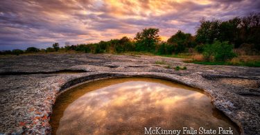
McKinney Falls State Park located in South Austin is a 726-acre park acquired in 1970 from private donation and was opened to the public in 1976. The...
Our friend over at El Paso Hiking shared his video of a March hike up to North Mount Franklin Peak in the Franklin Mountains State Park, El Paso.