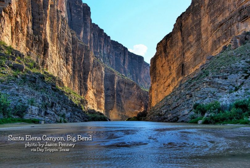
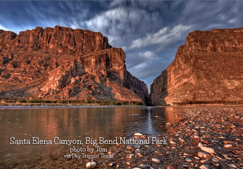
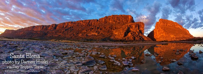
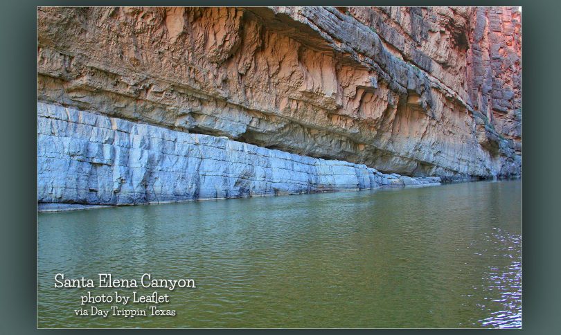
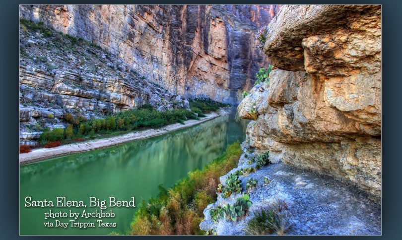
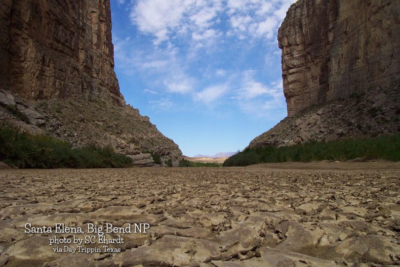
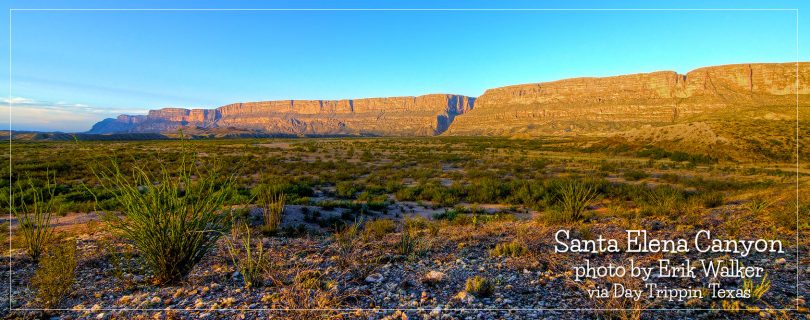
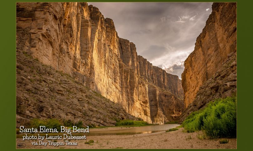
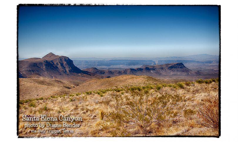
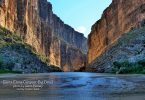
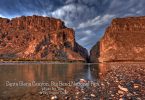
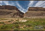
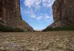
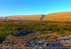
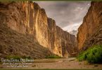
It separates the limestone mesas of the Mesa de Anguila on the northern or Texas side of the river from the Sierra Ponce on the southern or Mexican side. The entrance of the seven-mile canyon is located seven miles southeast of Lajitas. Its mouth is located six miles northwest of Castolon at the southeastern end of the Mesa de Anguila. Santa Elena Canyon, like Mariscal and Boquillas canyons, was carved out of thick layers of limestone originally deposited as sediments in the shallow sea that covered the Big Bend between sixty million and 130 million years ago. A mile below the entrance to the canyon, a rockslide from the Mexican side, known as the Labyrinth, rises to a height of 180 feet above the river and constitutes a major navigational hazard for boaters. Below the rockslide the canyon is narrow (sometimes as narrow as twenty-five feet) and sheer. Its walls reach a height of 1,500 feet above the river.
The majestic Santa Elena Canyon is the most impressive in Big Bend National Park – it is visible for over 10 miles away, as the Rio Grande changes direction abruptly after following beneath the straight Sierra Ponce cliffs for several miles and heads due west, cutting through the mountains via a deep, narrow gorge. This sharp bend in the river was formed by movement along the Terlingua fault zone that crosses the park. For many miles upstream the river is trapped beneath the high walls, eventually emerging into a wider valley at the small town of Lajitas. A 0.7 mile path follows the river up the north side of the canyon, and walking further is possible when the water level is low.
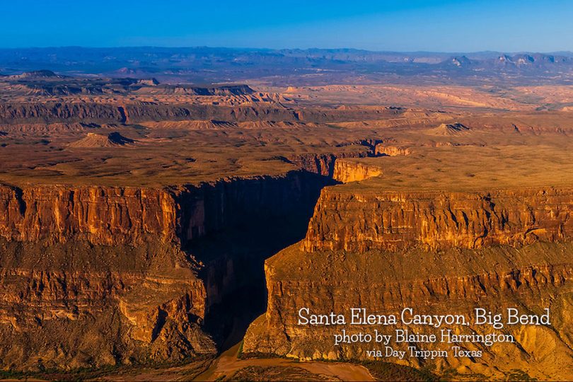
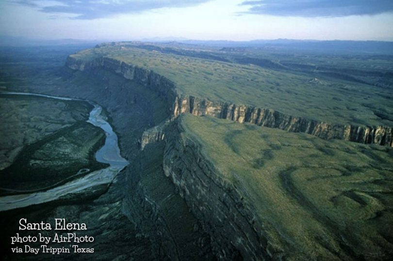
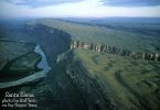
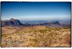
This is an aerial view of Santa Elena Canyon in Big Bend National Park. Mexico is on the left side of the canyon, US on right and mountains in background are Mexico. The canyon is the crack in the rock.
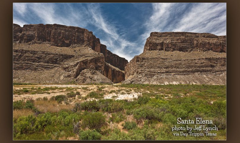
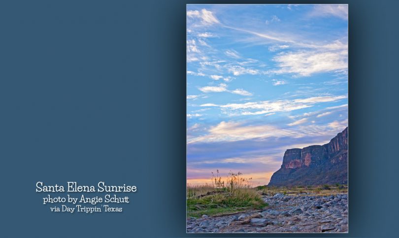
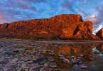
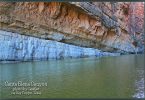
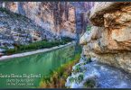
Other photos of Santa Elena
Reprinted from Texas State Historical Association & American Southwest | Banner Photo Blaine Harrington

