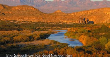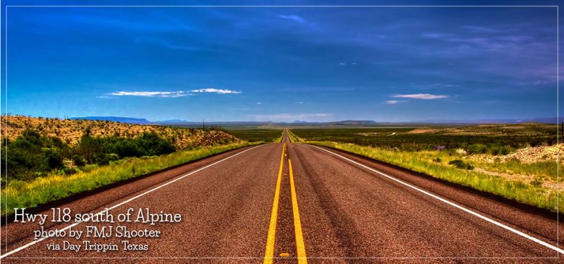
State Highway 118, or SH 118, is a 155.3-mile state highway in the U.S. state of Texas that runs from Big Bend National Park north to Kent and passes through the towns of Study Butte, Alpine, and Fort Davis. SH 118 is maintained by the Texas Department of Transportation (TxDOT). The road lies entirely within the Trans-Pecos region of Texas. SH 118 is a two-lane road along its length except for a section in Alpine where the route follows the path of U.S. Route 67 and U.S. Route 90. All of the route except for the 2.8-mile section between Big Bend National Park and Farm to Market Road 170 is included in the Texas Historical Commission’s Texas Mountain Trail.
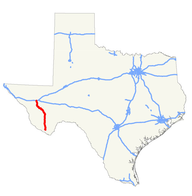 The road passes through or along several state and federal parks and other wildlife preservation areas. These include Big Bend National Park and Fort Davis National Historic Site of the National Park Service, Elephant Mountain Wildlife Management Area and Davis Mountains State Park operated by the Texas Parks and Wildlife Department, and the Davis Mountains Preserve of the Nature Conservancy of Texas. The road is in the Chihuahuan Desert and passes mostly through scrub land except in the higher elevations of the Davis Mountains where the road encounters forested sky islands. The road also provides access to the University of Texas at Austin’s McDonald Observatory.
Here’s a video tour of the ride from Fort Davis to Van Horn:
This drive begins at Fort Davis, and follows TX Highway 118 to the McDonald Observatory. A side trip goes to the highest point on the Texas Highway system, on TX 78, then the drive on 118 continues until daylight runs out, with a bonus clip of my after-dark arrival in Van Horn, Texas.
Resource Wikipedia | Photo by FMJ Shooter